
Drone Mapping that delivers clarity and confidence.
At BoshWorks we help engineers, builders, and developers see their projects with absolute clarity. Using advanced drone technology, we deliver accurate data and actionable insights that keep your project on track, from planning through completion.
Solutions we offer
Efficiency and safety through drone technology.

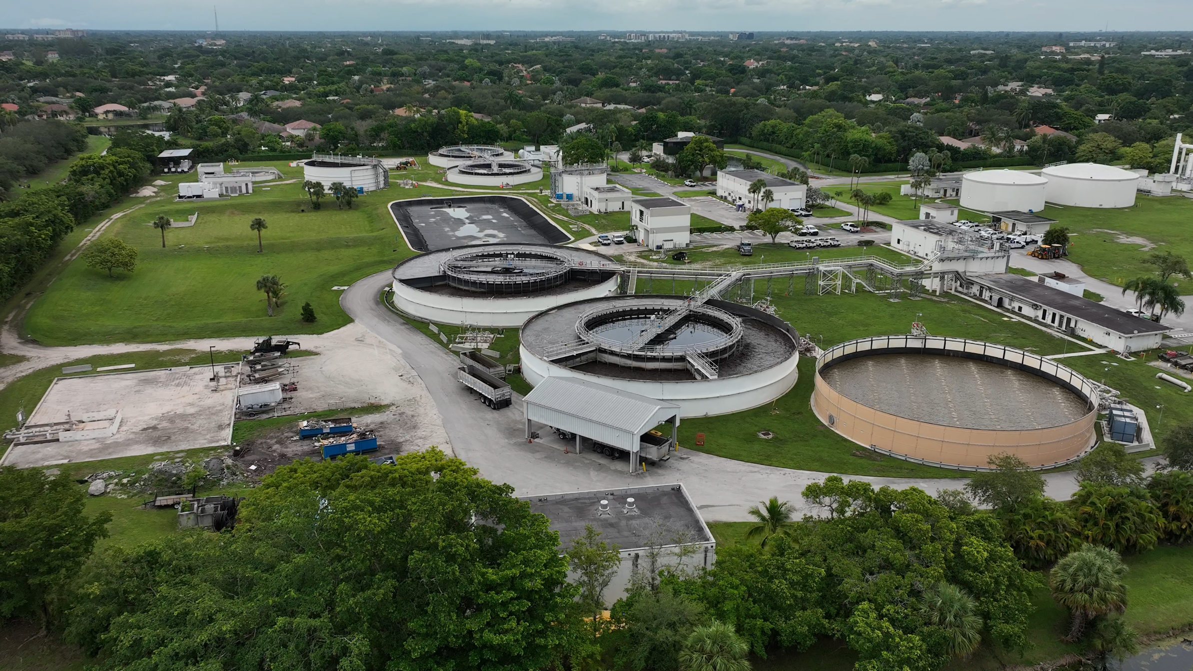
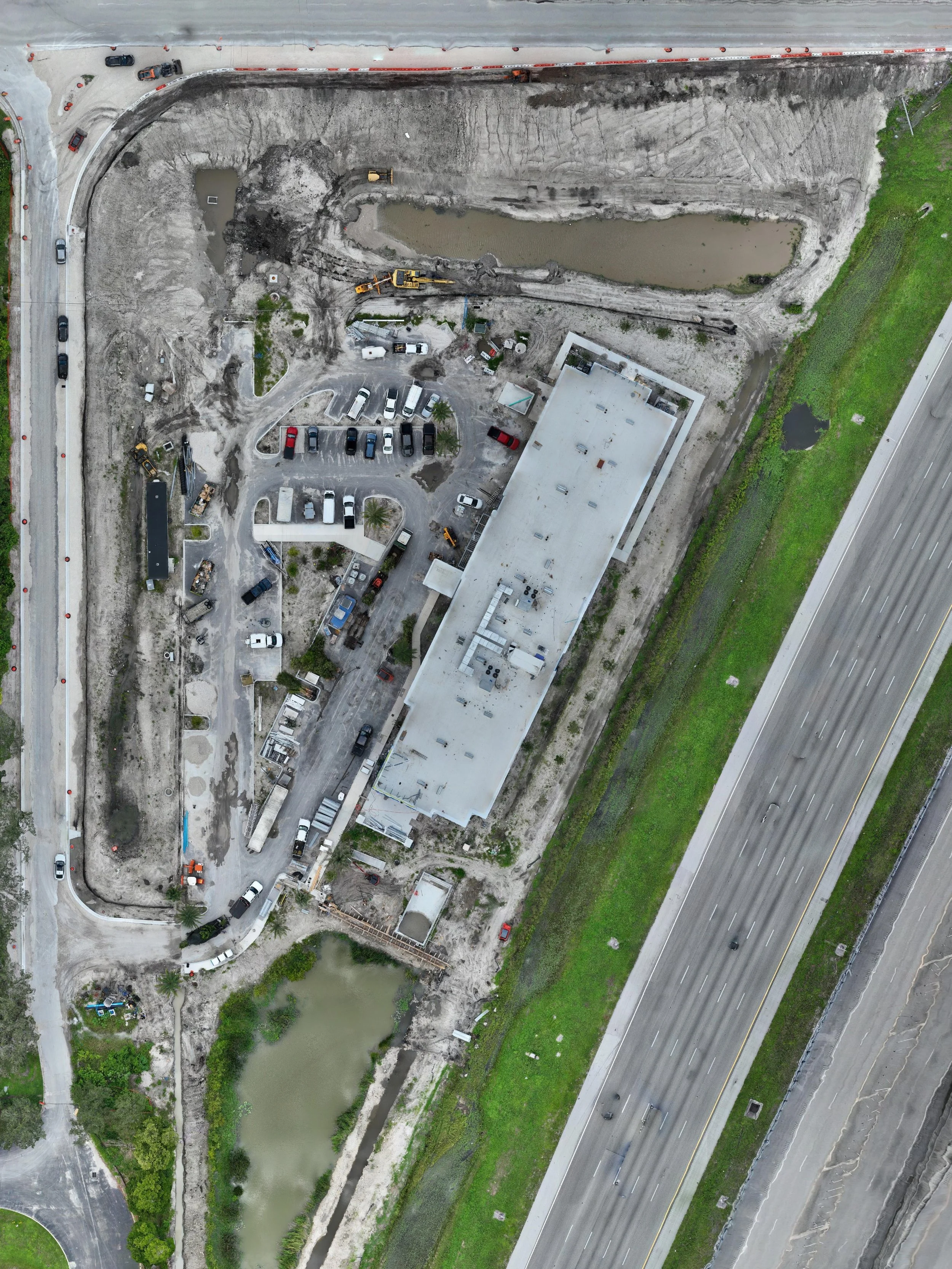
2D orthomosaic maps for accurate site analysis.

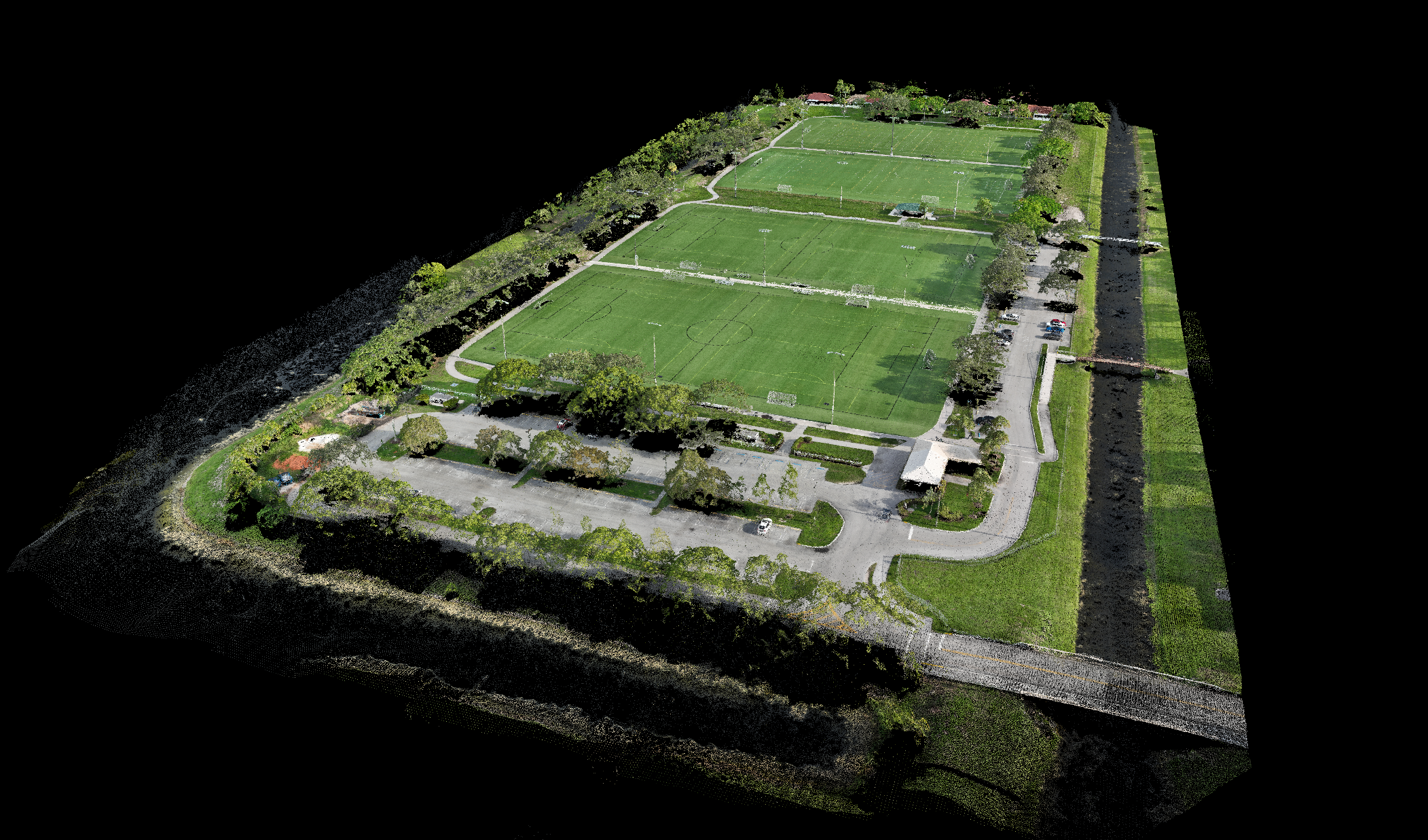
3D models and point clouds for 3 dimensional analysis.

Scheduled flight operations for up to date data gathering.

Detailed inspections.

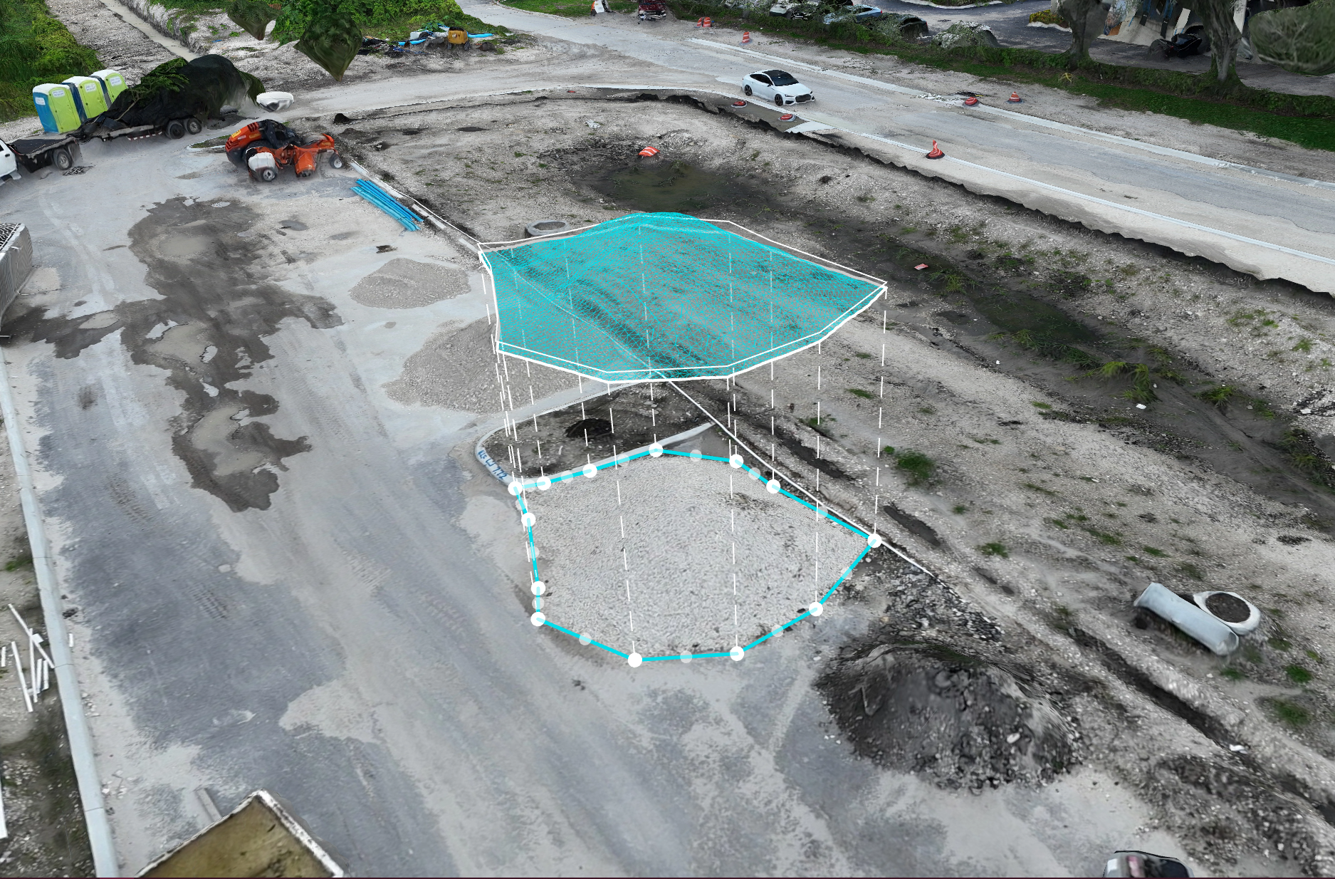
Accurate volumetric data measurements for stock piles.

Precise distance measurements for surface area calculations.

Our Services
Site Mapping Essentials
High-accuracy drone mapping designed for one-time projects, giving you a clear, detailed view of your site in a fraction of the time traditional mapping takes.
Scheduled Progress Tracking
Recurring site mappings delivered weekly or monthly to track construction progress, measure changes, and provide stakeholders with up-to-date visual and measurable insights.

Inspection Services
Inspect Smarter, Safer, and Faster by leveraging the Matrice 4E’s powerful zoom camera to safely and efficiently inspect roofs, building facades, equipment, and other hard-to-reach structures. Our inspections provide detailed visual data without putting personnel at risk, helping you identify issues early and make informed decisions faster.
Specialized Solutions
Specialized add-on services such as stockpile volume calculations, complex measurements, and custom exports tailored to your project’s unique needs.
Contact Us
Interested in working together? Fill out some info and we will be in touch shortly. We can’t wait to hear from you!