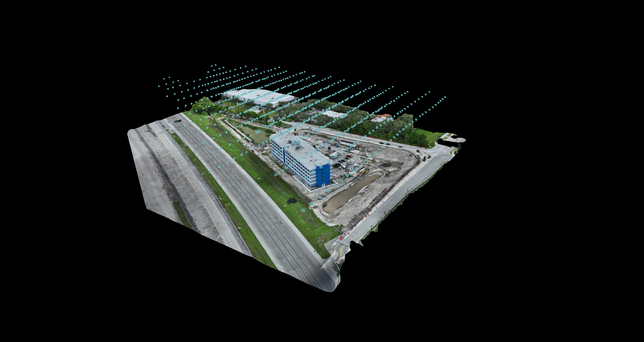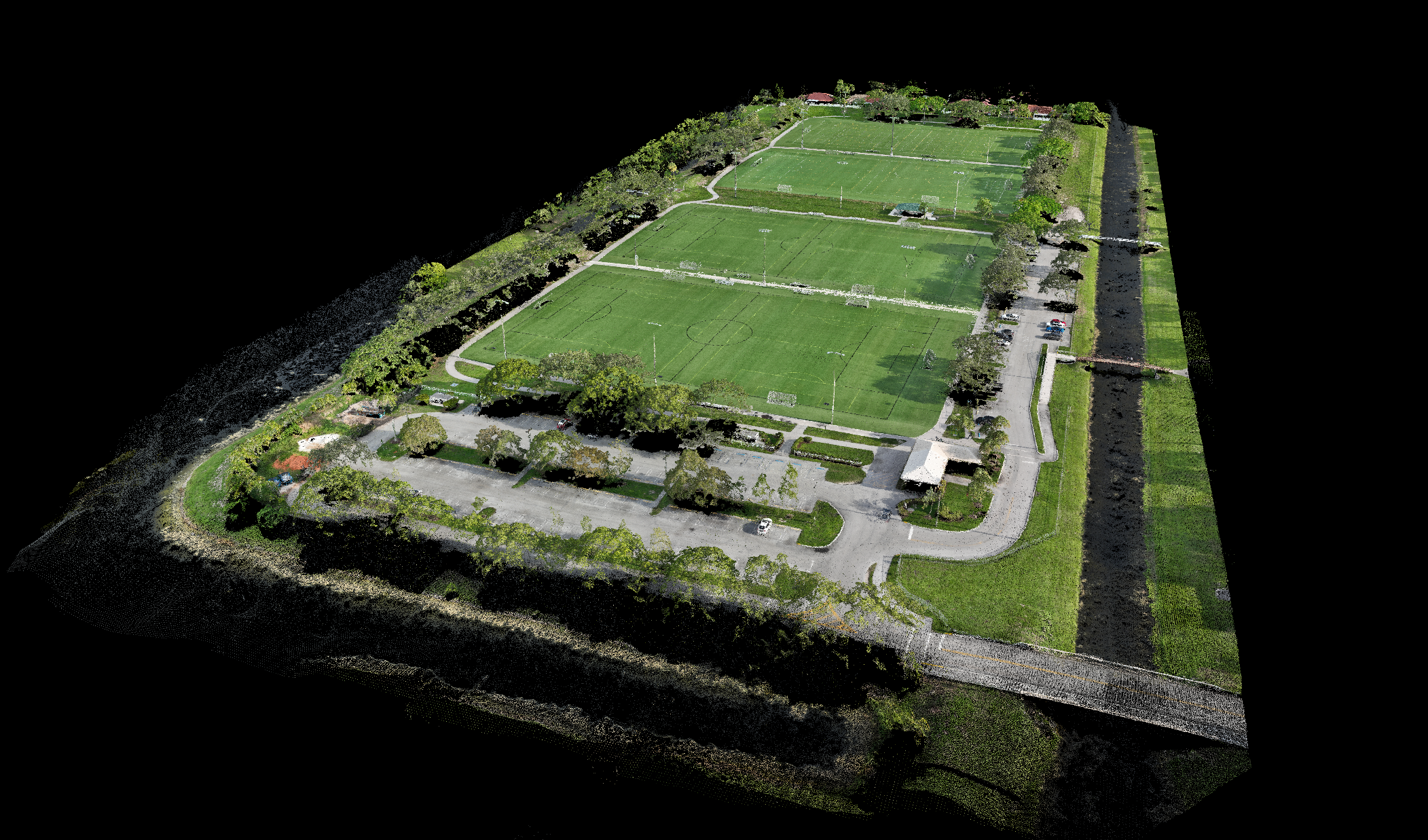
Site Mapping Essentials
High-accuracy drone mapping designed for one-time projects, giving you a clear, detailed view of your site in a fraction of the time traditional mapping takes.
Small Sites (under 10 acres)
Ideal for residential builds or compact job sites. Each flight delivers high-resolution orthomosaic maps and clear visual documentation to support planning and decision-making.
$250 - $500 per flight
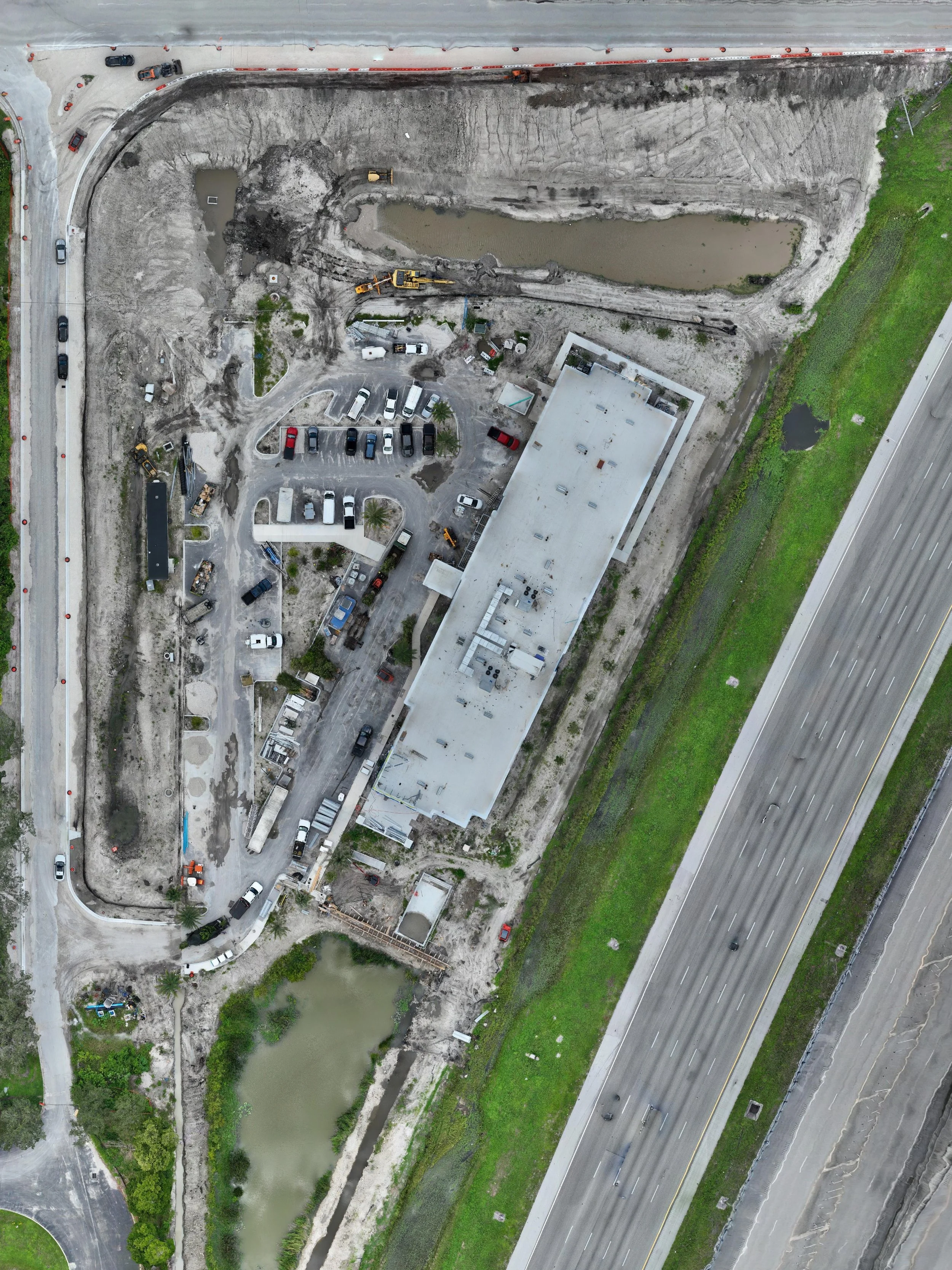
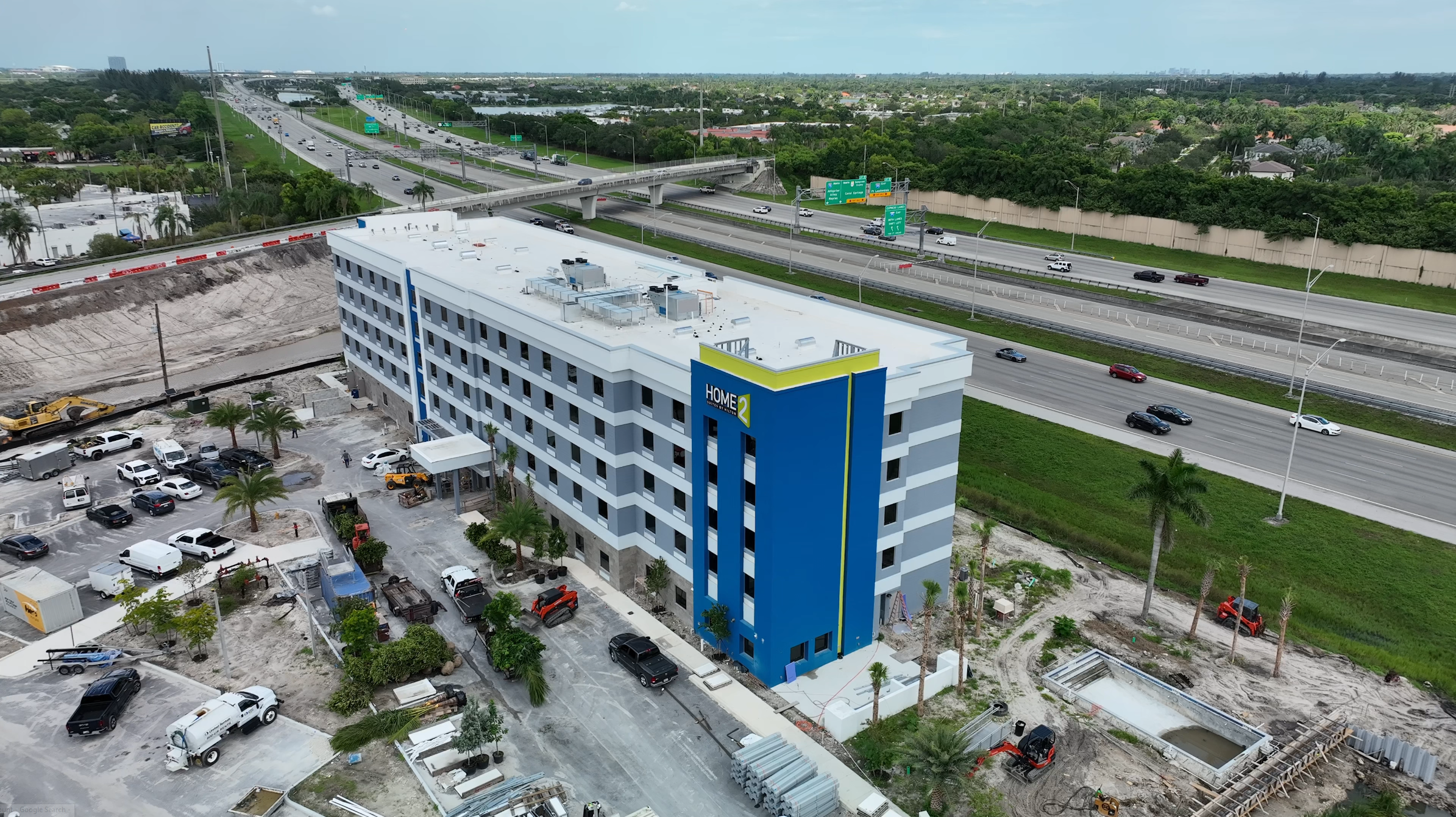
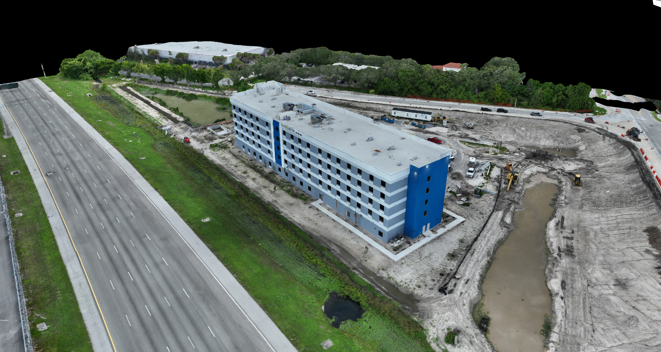
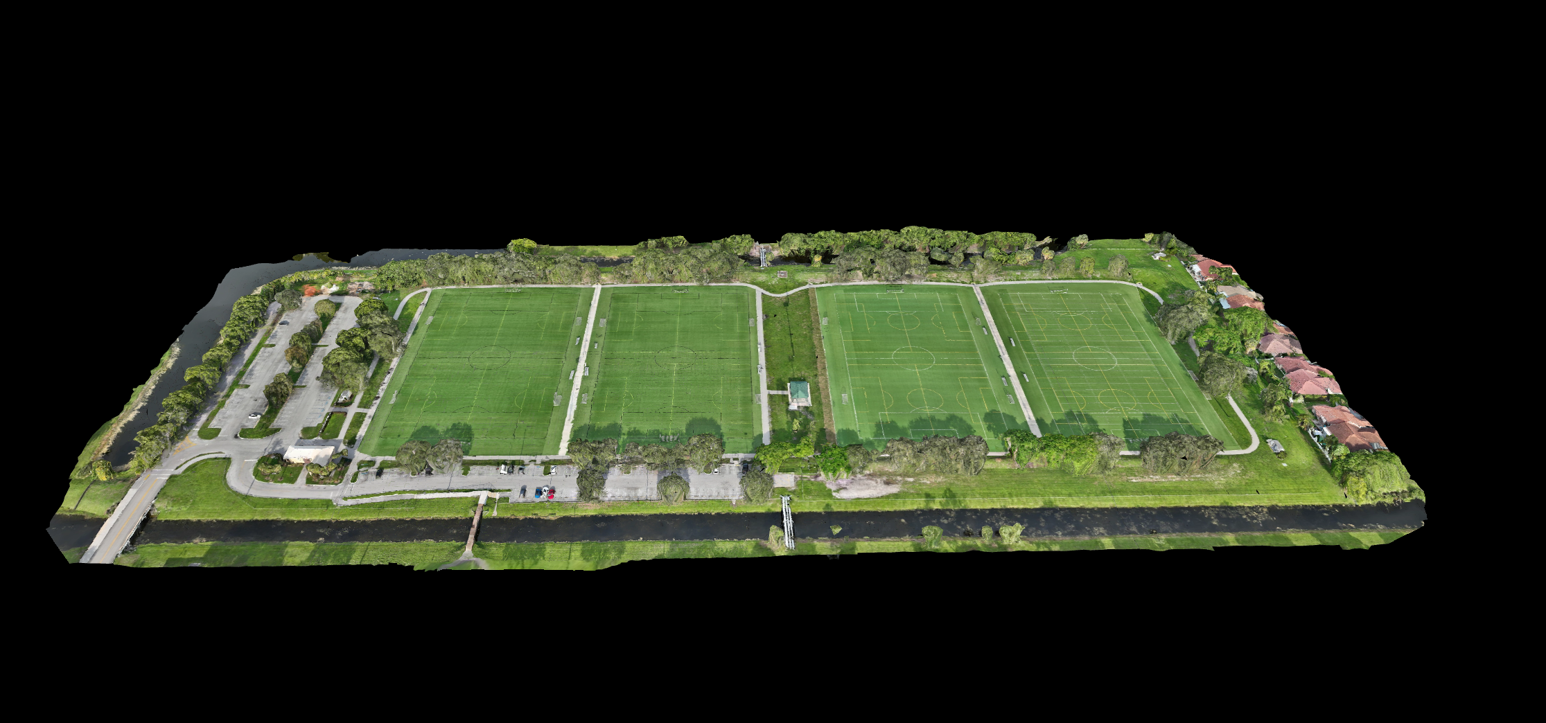
Medium Site (10 - 50 acres)
Perfect for commercial developments or mid-sized construction projects. Provides detailed aerial maps and measurement-ready datasets for tracking progress and managing site activities.
$500 - $750 per flight
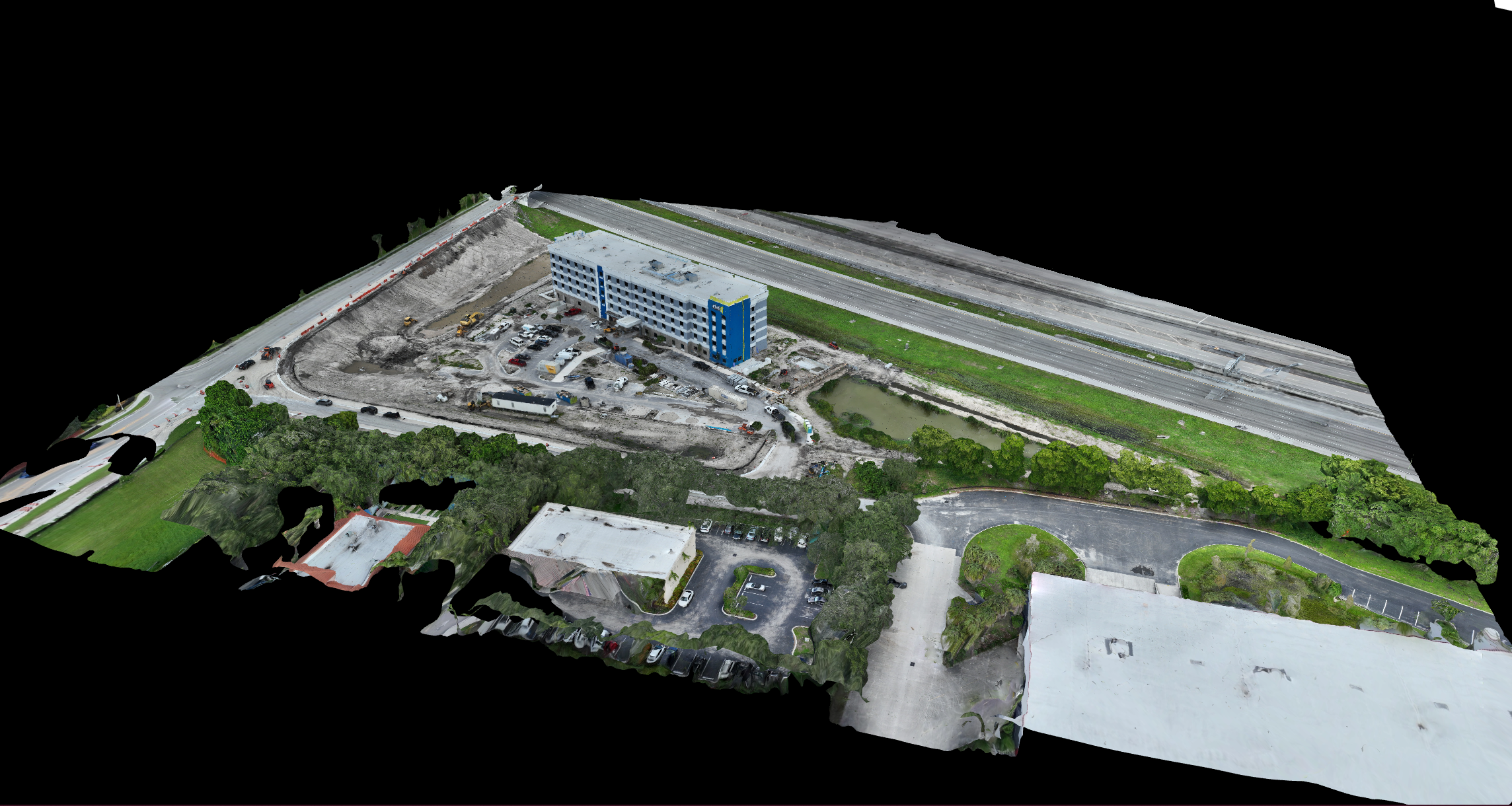
Large Site (50+ acres)
Comprehensive aerial mapping for large-scale construction, infrastructure, or industrial projects. Captures expansive areas efficiently, delivering precise visual data to keep your team informed and aligned.
$800 - $1200
What’s Included in Every Flight
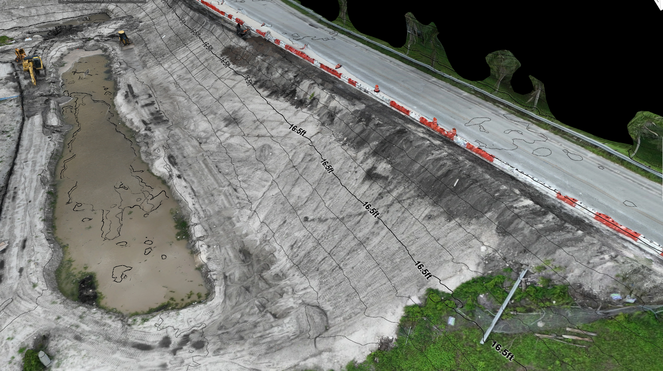
High-resolution Orthomosaic map
Basic measurements (distance, area, elevation)
Online share link for easy access to your data
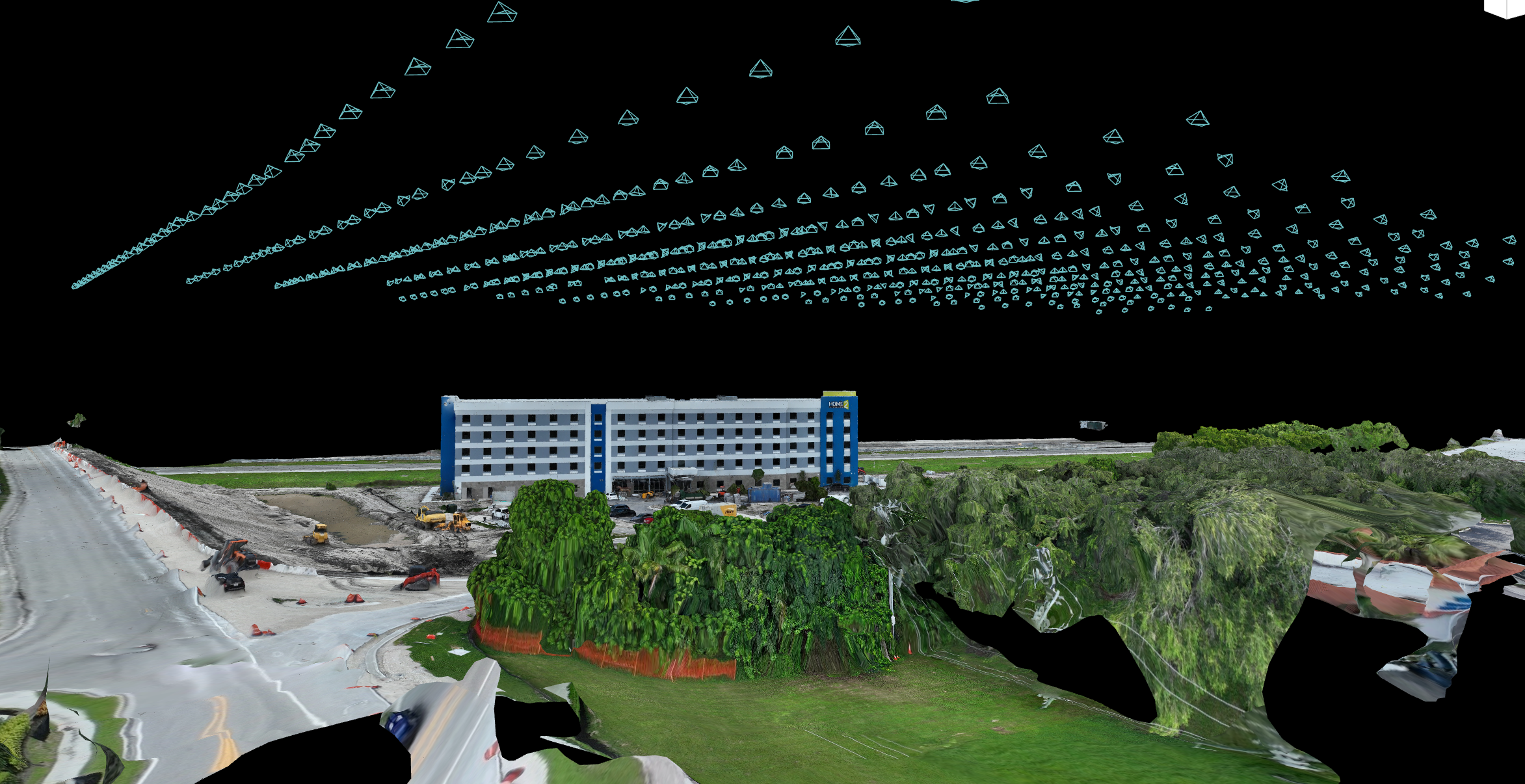
Every project includes a secure cloud-based share link, giving you and your team instant access to interactive maps and 3D models. This platform is trusted across industries for its precision and ease of use—allowing you to zoom, measure, and explore your site directly in the browser without needing specialized software. It’s a fast, professional way to view and collaborate on your project data anytime, anywhere.